
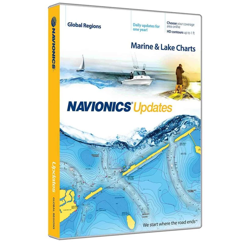
CF/NAVU-NI/WM US and Canada Fresh and Salt Water Navionics Updates CF Card
Original price was: $99.99.$66.99Current price is: $66.99.
- We take quality seriously.
- 7-Day Returns, 100% Quality
- High quality products, low prices.
- 7 days free returns

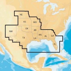
Navionics Updates (Now Pre-Loaded with Nautical chart Data) NAVU-NI: US & Canada
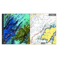
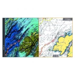
The most detail Navionics Updates is a convenient, economical method for current owners of chart cards to update their charts and access all Navionics+ capabilities and features. Eligible products include Navionics, C-MAP, Fishing Hot Spots, Garmin, LakeMaster, Lowrance, and TrakMaps. Enjoy detailed Nautical Chart, SonarChart™ HD bathymetry map, and Community Edits, plus free daily updates for one year! Simply plug your card into your PC/Mac, activate it by inserting another compatible card. Preloaded Nautical Chart will be ready to use, and you can download SonarChart™ and Community Edits for the most up-to-date charts anywhere within both US and Canada. 16GB card and USB reader included.
- Daily updates
- Saltwater and the Great Lakes
- Freshwater–18,000 lakes and growing
- One foot contours inshore and nearshore. 3’ and 6’ contours offshore beyond 90’
- Visit Navionics.com/downloads-updates to enjoy preloaded content and download the latest charts. Enhance SonarChart™ with sonar logs you collect using a plotter or mobile device.
- Check compatibility at navionics.com, which is continuously updated.
View Chart Detail
Americas Compatibility Guide
EMEA APAC Compatibility Guide
| Card Type | Navionics |
|---|---|
| Cartography | US Coastal , US Inland , Canada Inand , Canada Coastal |
| Type | Electronic Charts |
Be the first to review “CF/NAVU-NI/WM US and Canada Fresh and Salt Water Navionics Updates CF Card”
Related products

Electronic Charts
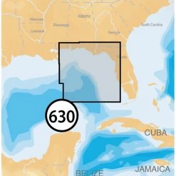
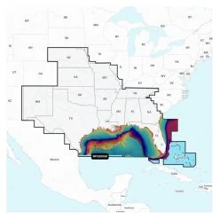
NAVIONICS MSD/630P+ East Gulf of Mexico Platinum+ Charts microSD Card
Electronic Charts
Electronic Charts
Electronic Charts
Electronic Charts
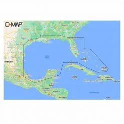
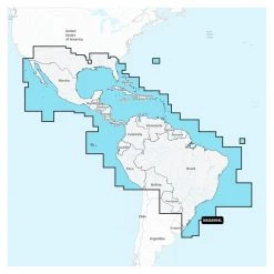
Navionics+ SA004L Mexico, Caribbean to Brazil, Electronic Chart
Electronic Charts
Electronic Charts
Electronic Charts
Reviews
There are no reviews yet.